Overview | Table of Contents | Introduction | Physical Setting | Biological Communities Human Influences | Species Lists | Symposium Talks | Bibliography
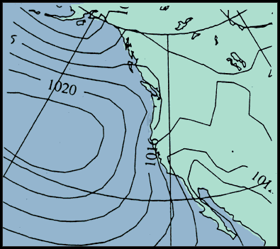
Thirty-year mean distribution of sea-level pressure along the U.S. West Coast based on National Meteorological Center analyses. Contours are sea-level pressure every 4 mb. From Mass and Bond 1996.