Coastal Erosion Study
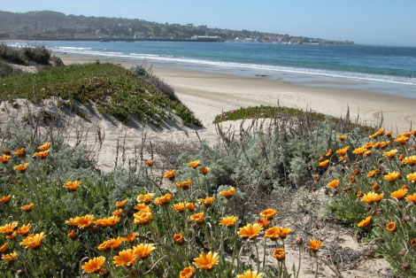
Threats to coastal structures and communities from coastal erosion, as well as the environmental impacts associated with coastal armoring, have been of growing concern to many. A recent study found that erosion rates along the southern Monterey Bay shoreline between Moss Landing and Wharf II in Monterey are the highest in the State of California. Although this shoreline is not heavily developed, eight oceanfront facilities are at a high risk from erosion over the next fifty years. A recent sanctuary-led study, Evaluation of Erosion Mitigation Alternatives for Southern Monterey Bay, developed a number of recommendations for future mitigation measures in this region.

The study found erosion mitigation measures previously not considered feasible would be substantially more beneficial than those currently used, such as seawalls and other onshore structures. For Southern Monterey Bay, it was estimated there would be a $1.25 billion net benefit over the next century by allowing coastal erosion to continue as opposed to the traditional response of seawall construction. The most promising approaches would be cessation of sand mining, rolling easements and beach nourishment.
While focused on southern Monterey Bay, this report will help clarify the benefits, costs and effectiveness of a range of erosion mitigation management measures for the entire California shoreline.
To download a PDF file of the full report, click here (4.2MB PDF).
